Currently reading: Peter Matthiessen – The Snow Leopard | David Mitchell – Ghostwritten
I was pretty happy to greet the weekend by Friday of this week. I texted Kev and Lee around 9am Saturday morning to see if they were keen to hike and we set out on an exploratory mission around Mt Vic, Lithgow and Hartley Vale, with hopes of beating the heat.

Berghofers Pass was used as the route out of the mountains to the west in the early days of motorised transport (1912-1934) as Victoria pass was too steep for most vehicles (until it was upgraded in 1934).

View towards Hartley

Spring drip-fed water trough, cut into the natural stone at the side of the pass
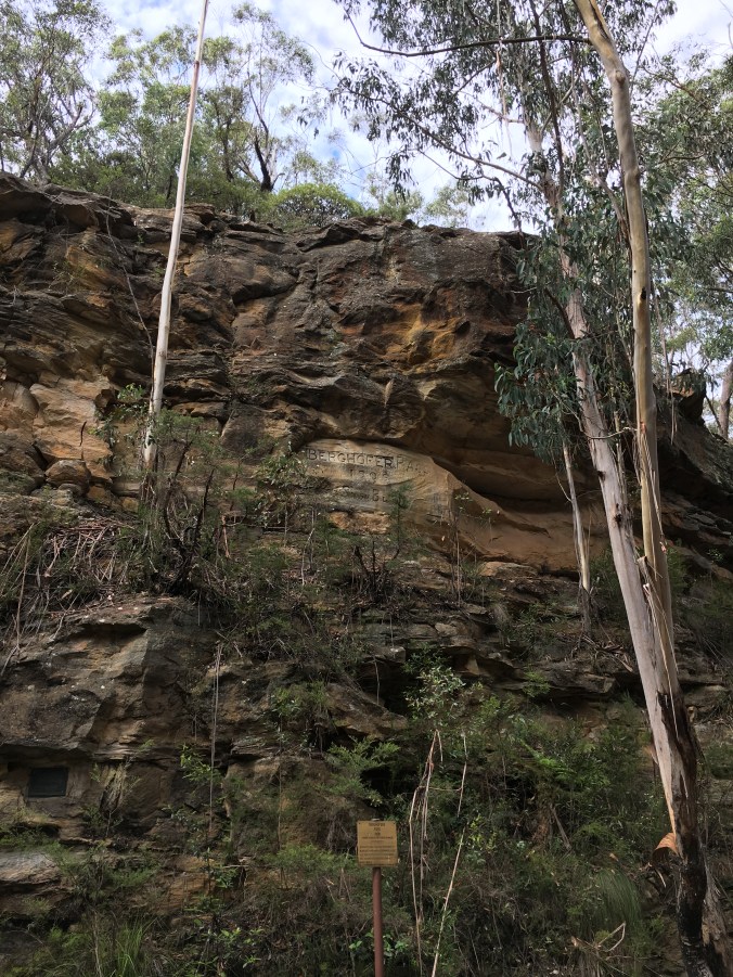
Rehabilitated signage cut into the cliff face on Berghofers Pass – the explanatory sign below reads: “Berghofer was the first President of Blaxland Shire and of German descent. It is understood that the sign above was deliberately defaced during WWI. Sign restored by descendants of Berghofer September 1987”

“Blue Mountains Shire Boundary <== | ==> Blaxland Shire Boundary”

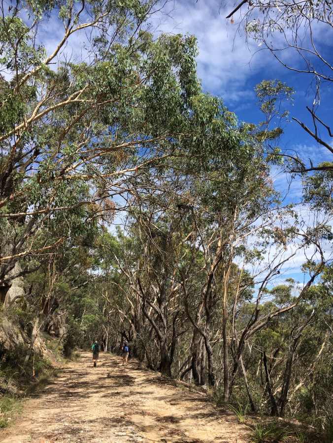
Imagine this pretty trail as the main thoroughfare into and out of the mountains from the west

Banskia in full bloom before another mighty slab of cliff-face
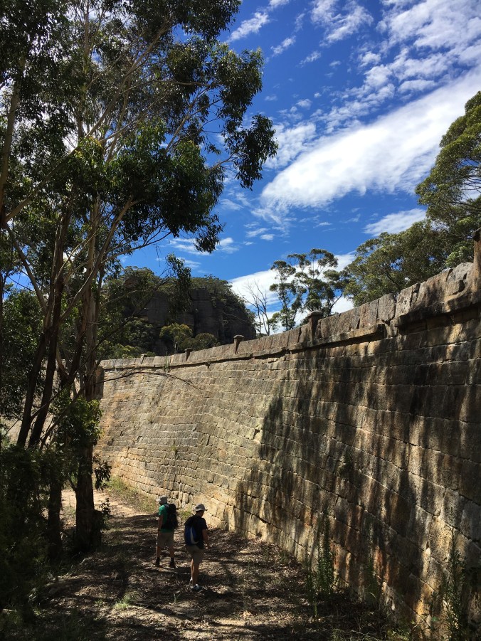
Lee and Kevin wandering into the distance

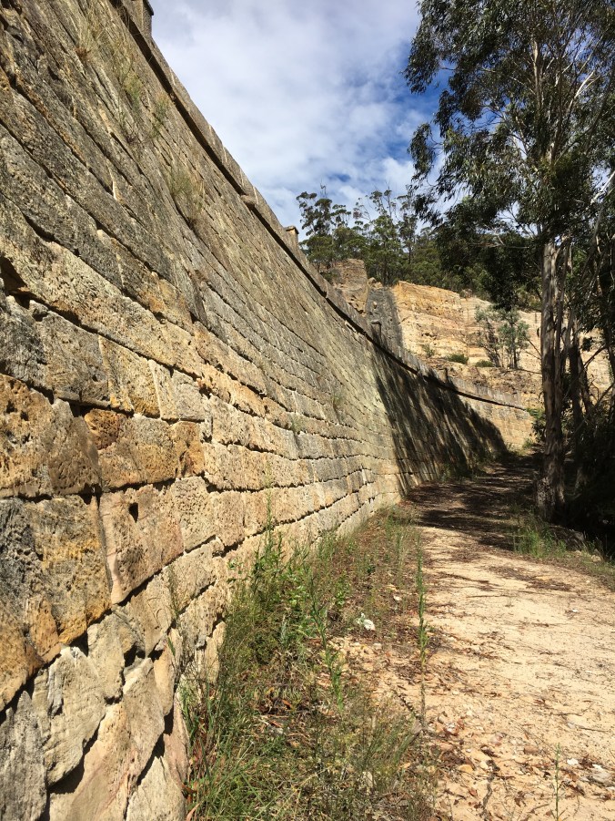
I’ve caught glimpses of the original viaduct stone-work out the window of my various cars over the 18 years that I have lived (off and on) in the mountains and have always wanted to take a closer look
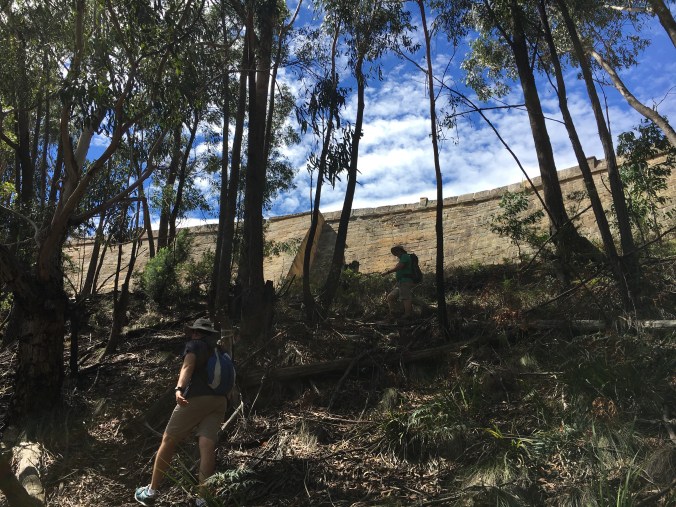
It was a little bit of a scramble from the pass up to the base of the stone wall, but nothing too strenuous
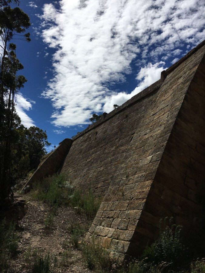
Sturdy buttresses
Nice curves

Here you can see the old with the new. The wall is now protected (but sadly, for the most part obscured) by an additional guardrail
I love the slightly skewed lines of brickwork and the different shapes and sizes of stone, but also how well it all fits together
After returning to the car the same way we came, we drove down Victoria Pass, through Hartley and west towards Lithgow and our next destination, Hassans Walls Reserve.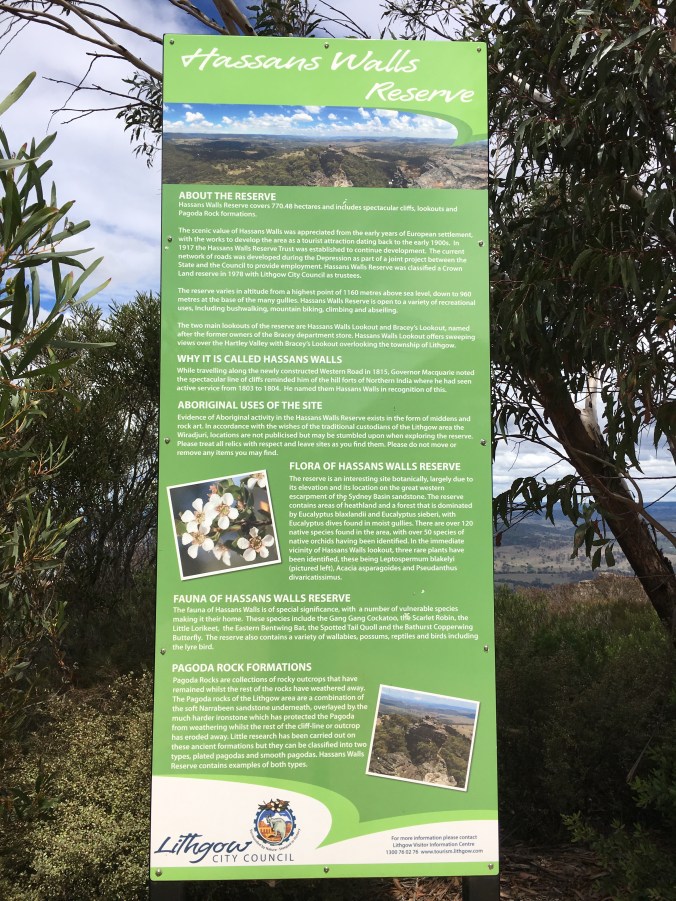
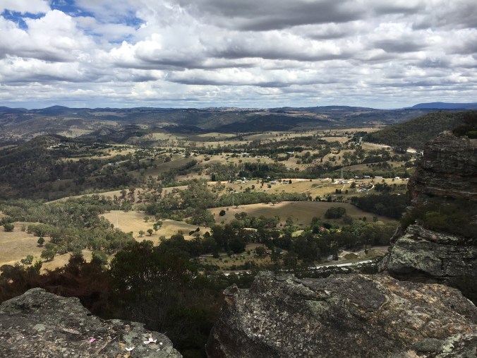
Hassans Walls Lookout is listed as the highest lookout in the Blue Mountains with unhindered views to the valley below

So many mountains to climb

Trig marker – oddly located directly in front of the lookout viewing platform
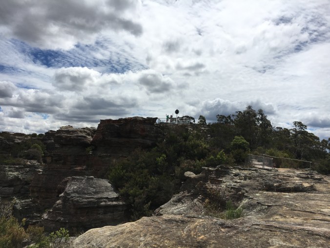
Views back to the lookout from further out along the rocky ridge – you can see the boys waving just to the left of the trig marker

Stunning pagodas standing firm in the high wind

More rock, more valley views
We rounded out our exploration with a quick trip through Doctors Gap, before returning to Mt Vic via Hartley Vale and the Darling Causeway, closing out the loop that had started at Mt York Road.
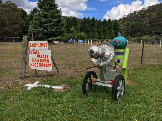
We came across this randomness
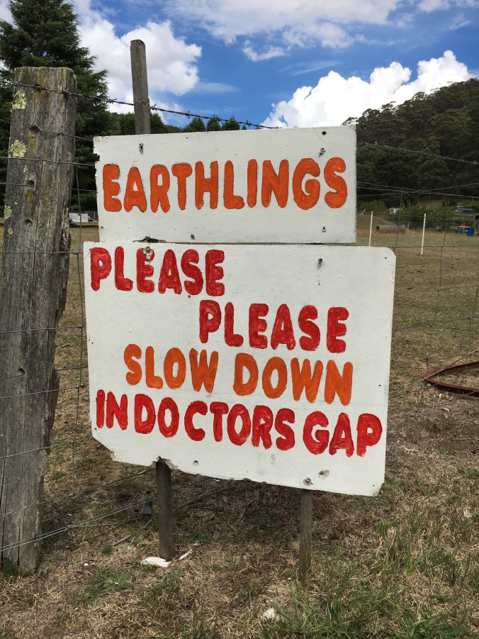
Detail of alien’s sign


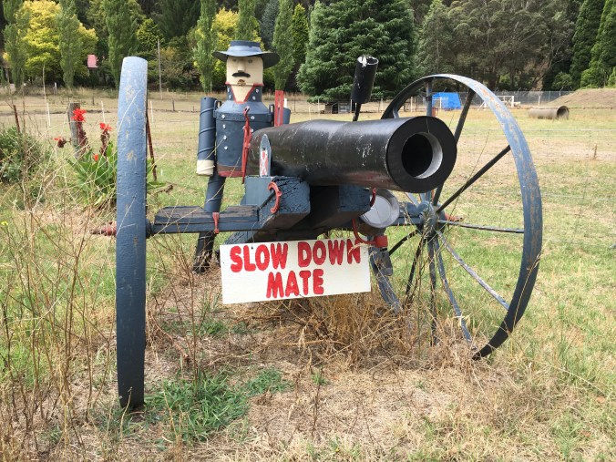
A request to slow down also leveled at passing drivers from the other direction
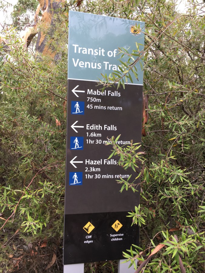
Last week I also spent a little time locating the three waterfalls listed as part of the Transit of Venus walking track in Woodford
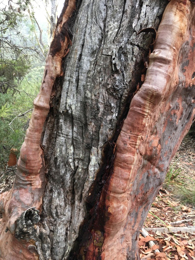
Old growth and new
Mabel Falls
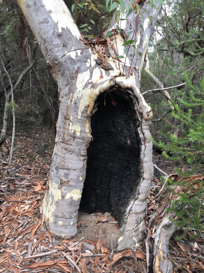
Miraculously still living

Baby squiggly

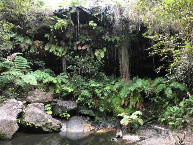
Edith Falls – complete with sandy beach
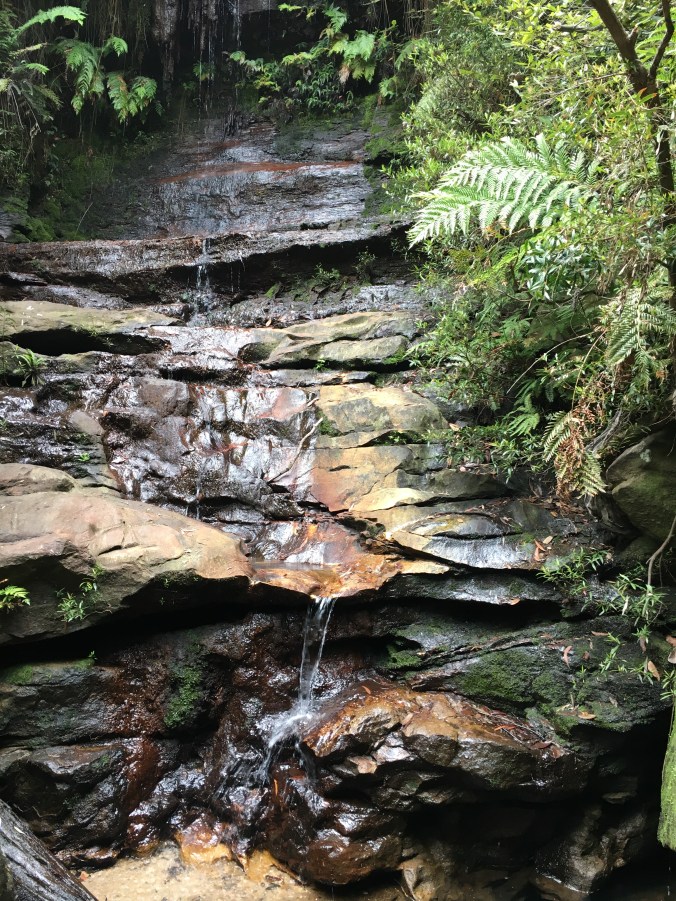
Edith Falls detail – a slow trickle
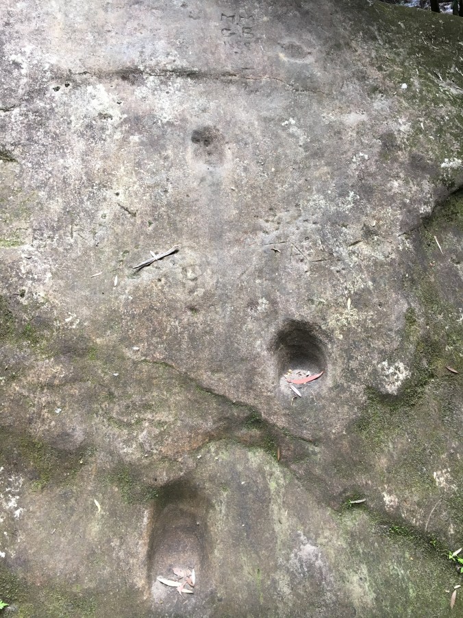
Foot grooves carved into the rock

Testing the steps – effective in function but effectively leading the climber nowhere…
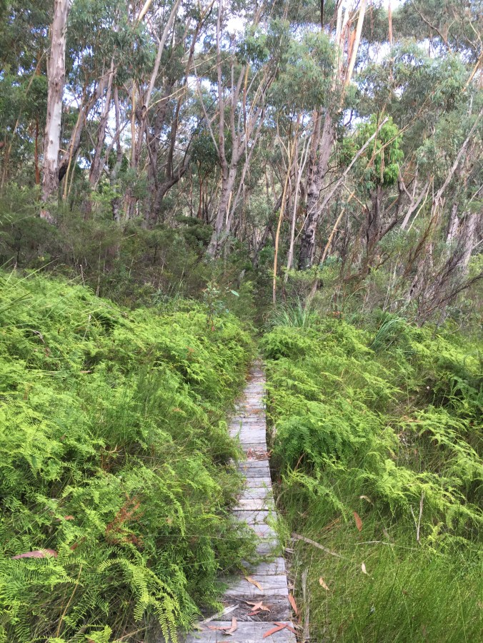
Greenbelt on the approach to Hazel Falls

Lovely rock formations

Hazel Falls – not much water in any of these

A few stairs on the return to the car

But not too many – just enough to get the heart-rate up for a brief moment
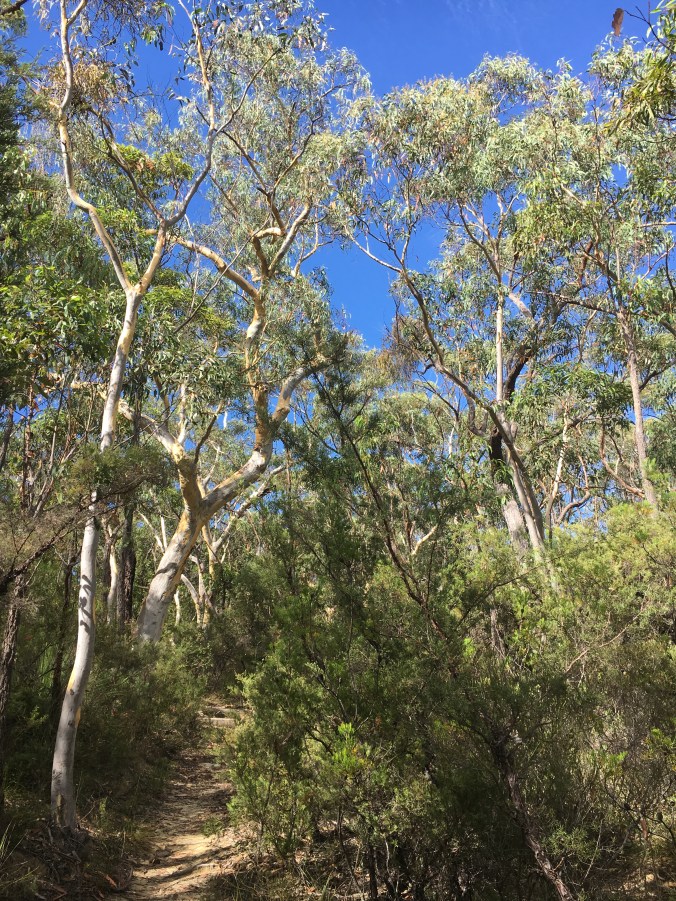
Clear blue skies replaced the overcast pallor that had characterised the earlier part of the walk

Looking up…
Live a life you love.
Booknboot xo
