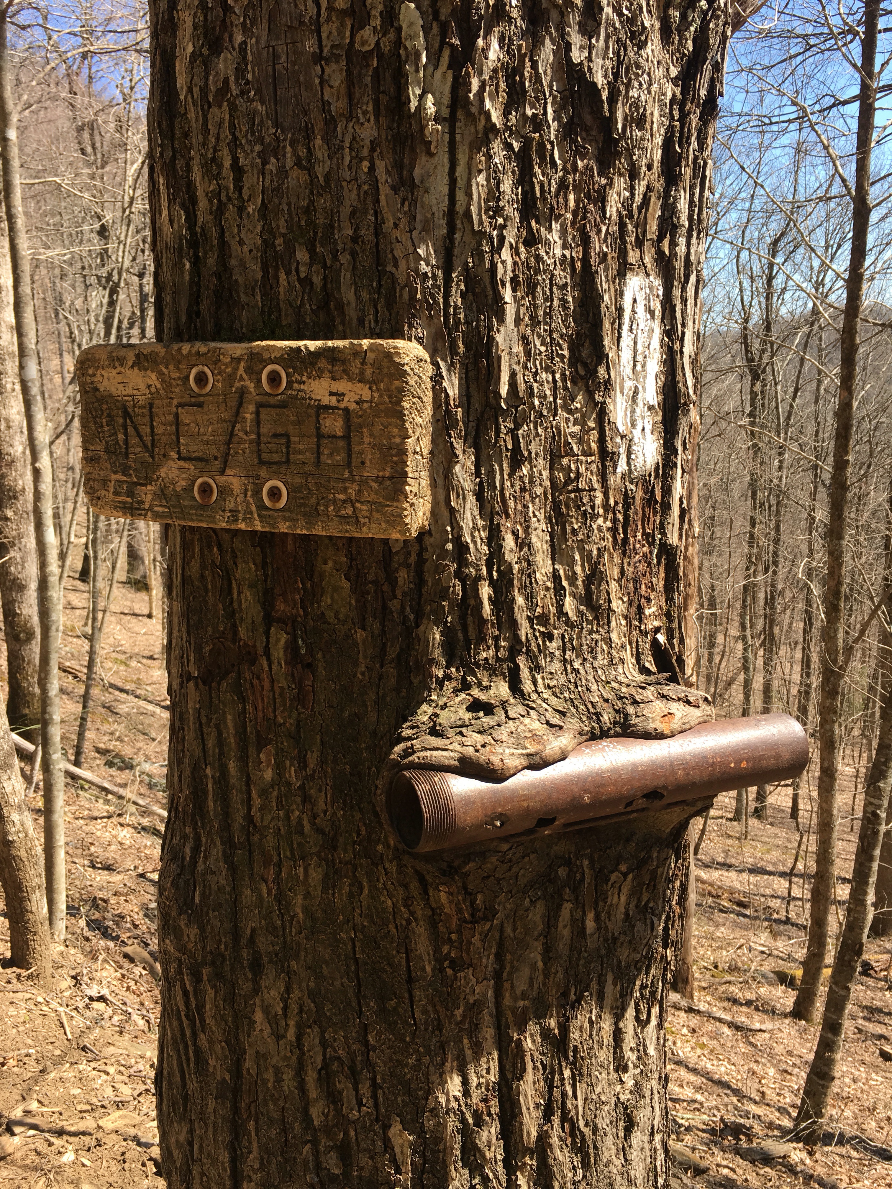
Georgia/North Carolina border
After a half day in Hiawassee getting clean, fed & resupplied, I crossed the state line into North Carolina at Bly Gap. You can register your progress in the tree here if you have paper on you, but from the few scraps of paper I discovered, some of which were quite dated, I gathered that most, like me, weren’t willing to cart the extra weight.

The AT is sometimes referred to as the Green Tunnel. I guess this will become more apparent as more trees leaf up for Spring.
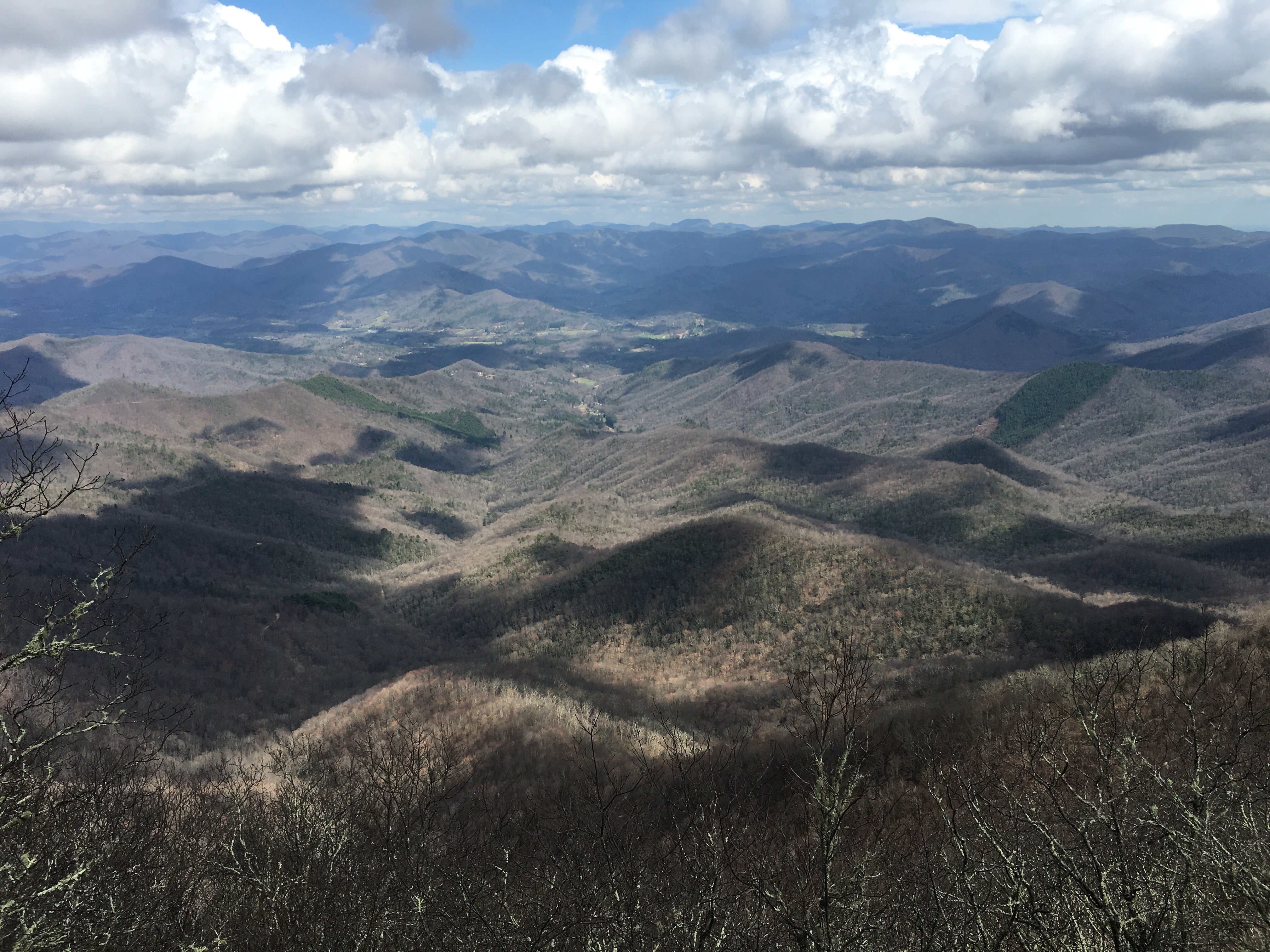
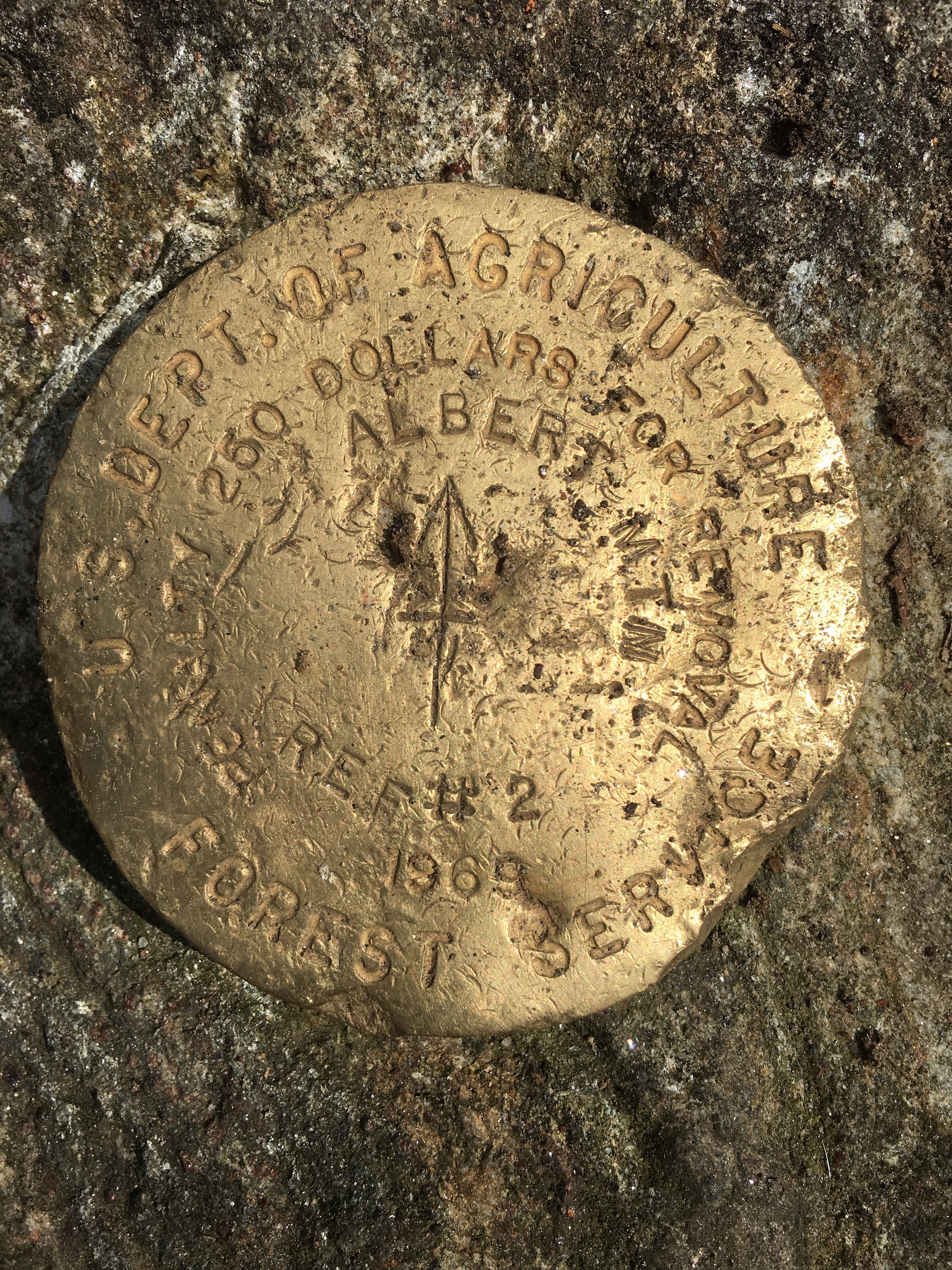
View from Albert Mtn – I don’t know which ones of these I’ve climbed, but look, they just go on forever…
 After these two longish days of hiking, I had a short 7 miles in store into Winding Stair Gap & on to Franklin for a couple of zero days while I read over the proofs for the McCarthy edited collection.
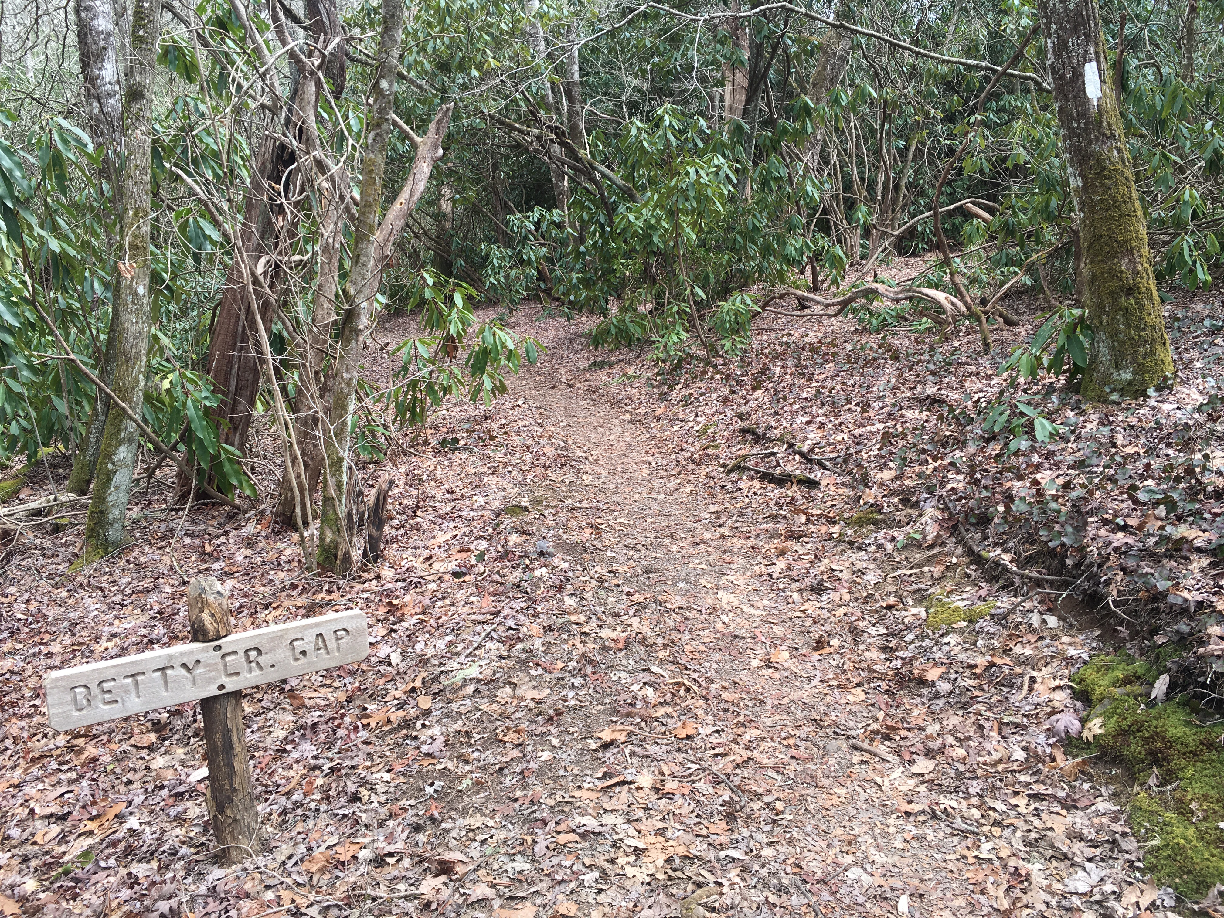
Some of the place names have been a bit of a giggle:

Why? What is the story behind this trail name?
I even found a place named for Betty:
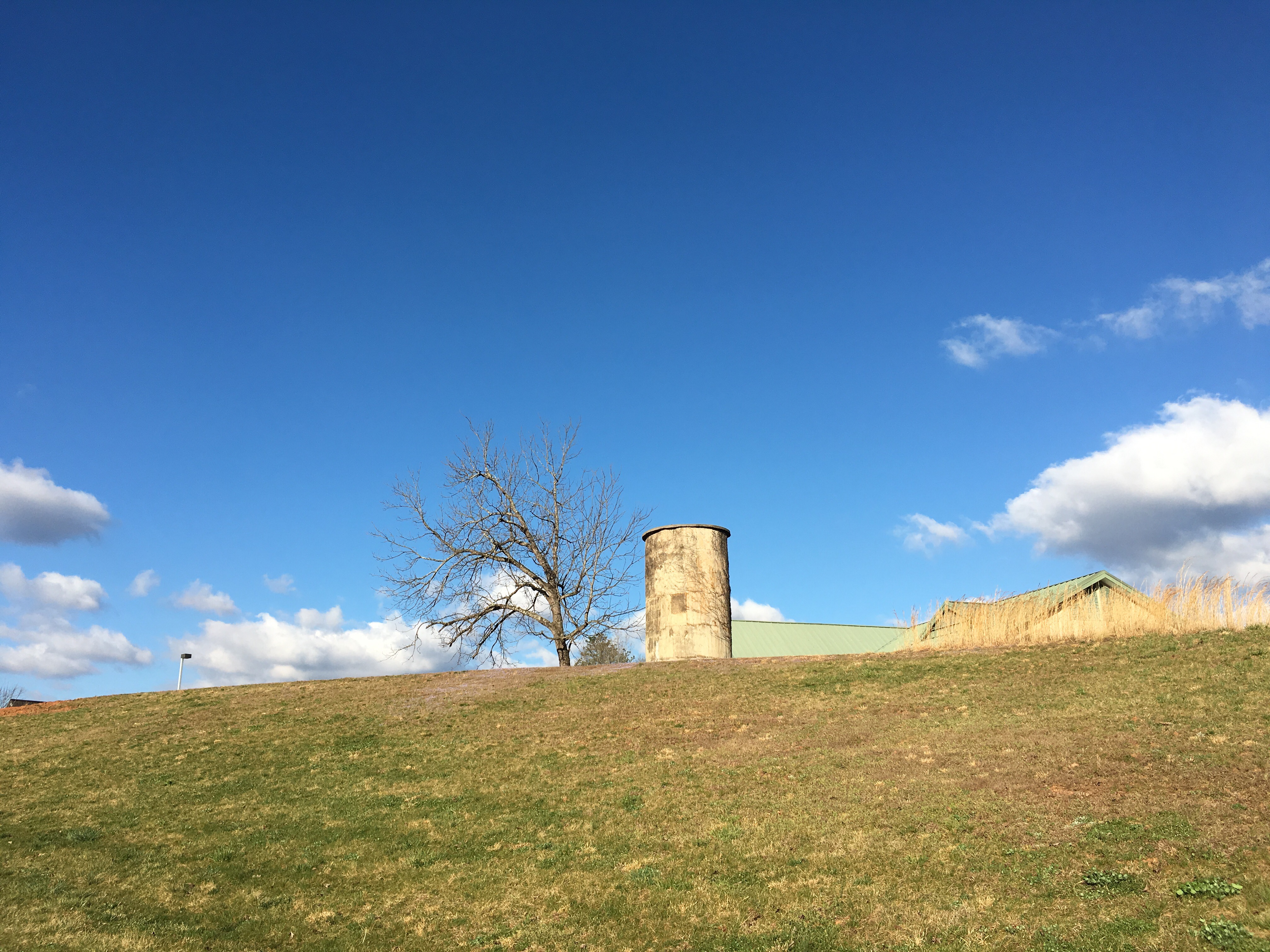
A couple of town shots from Hiawassee and Franklin:

Hiawassee
Approach to Macon County Public Library – Franklin
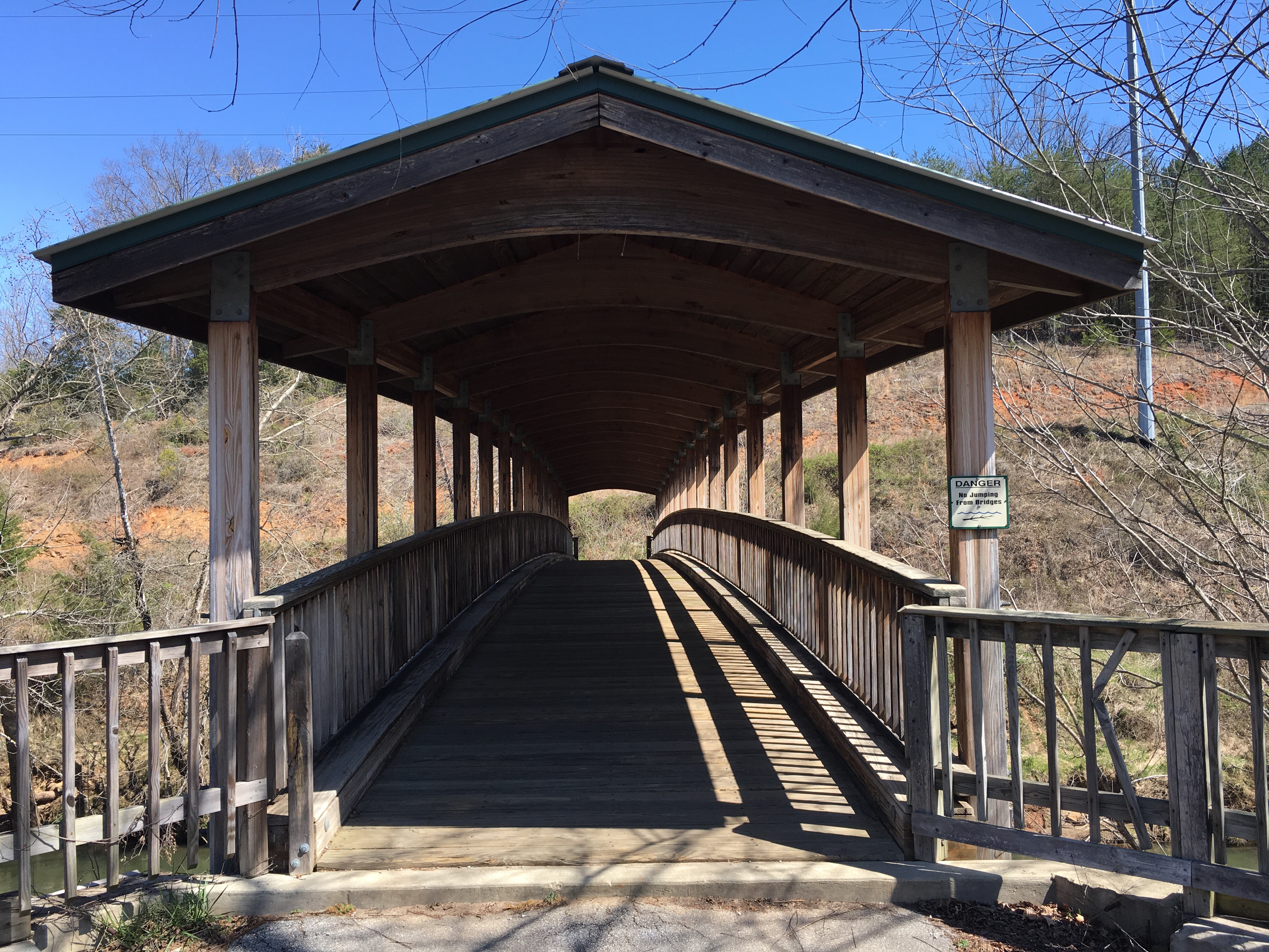
Nonah Bridge – Little Tennessee River Greenway – Franklin
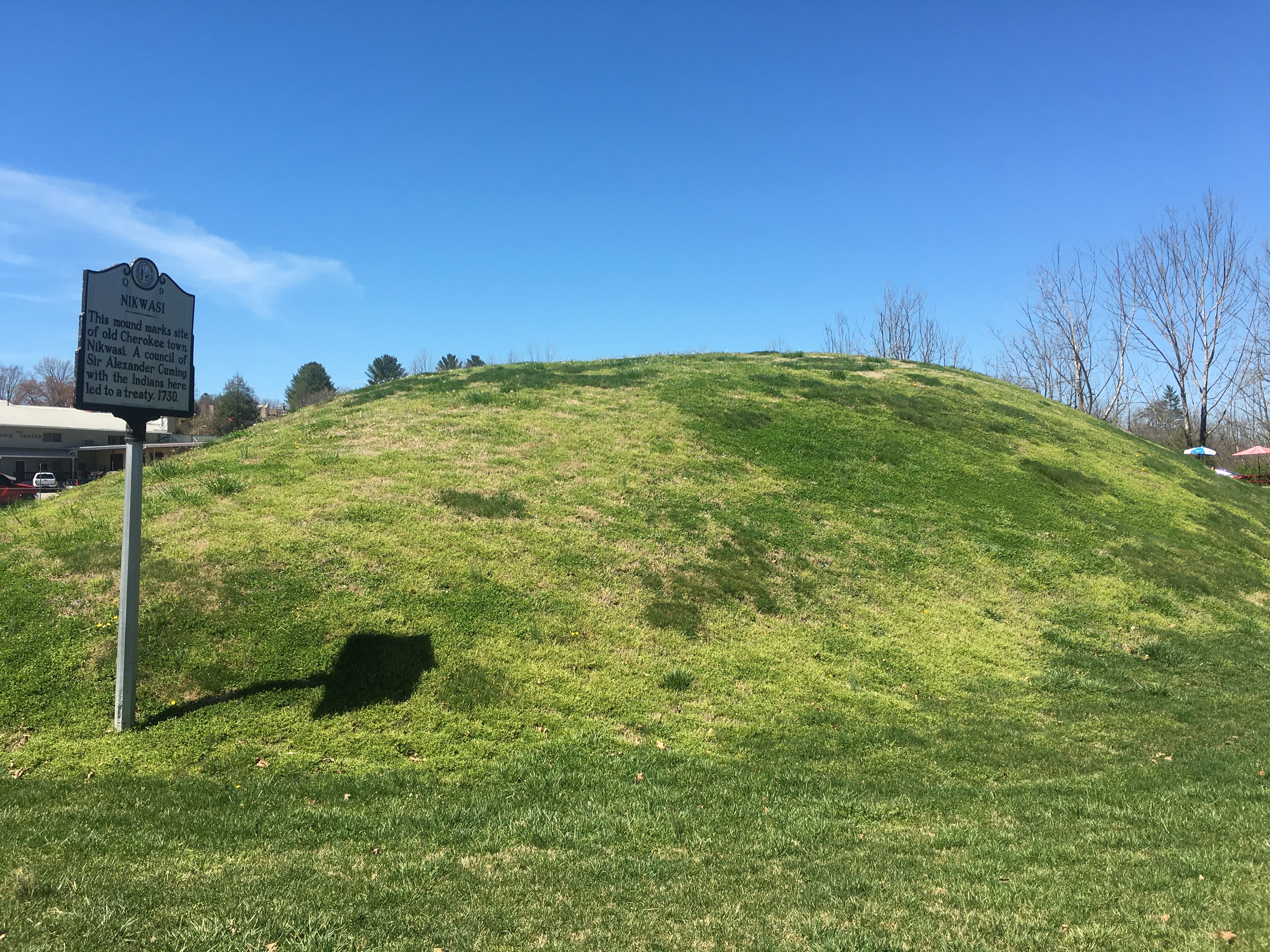
Nikwasi Mound – according to a sign at the site, in 1946, the schoolkids of Macon County saved their pennies and purchased the mound from the Historical Society in order to save it from development.

Dear Wander Lou, I particularly like the roofed bridge over the Tennessee River. I wonder how much it fills with tents in wet weather? Hope it is built very strongly! Keep on trekking Love Dad and Mum
Mum’s photos (as taken by Loll) aren’t much good.
Sent from my iPad
>
LikeLike
The roofed bridge is over the Little Tennessee, and forms part of a 7 mile system of greenway linking the library and community college with the town of Franklin. So it’s not actually part of the trail, though I did see a hiker with their sleeping bag all laid out in a nearby picnic shelter the other day so I guess some hikers who don’t want to pay for accommodation in town probably do make use of the bridge 🙂 That’s a pity about the photos of Mum’s walk. I’ve been going over the proofs for the book this week, but feet are itching to get back out there… Love Lou
LikeLike
One state down, 23 to go! That may be a bit of an exaggeration. Keep going Lou, we love seeing your photos and commentary. Happy Easter, hopefully easter bunny will be able to track you down on the trail, that is unless he has been eaten by a bear or a rabid skunk.
LikeLike
Easter bunny eats rabid skunks for breakfast! Thanks Steve. I’ve been working this week but the trail is calling me back… PS it’s 13 states to go 😁
LikeLike